There’s a section of ragged concrete outside the 400 Bar at the intersection of Riverside and Cedar avenues where the original red brick street peeks through.
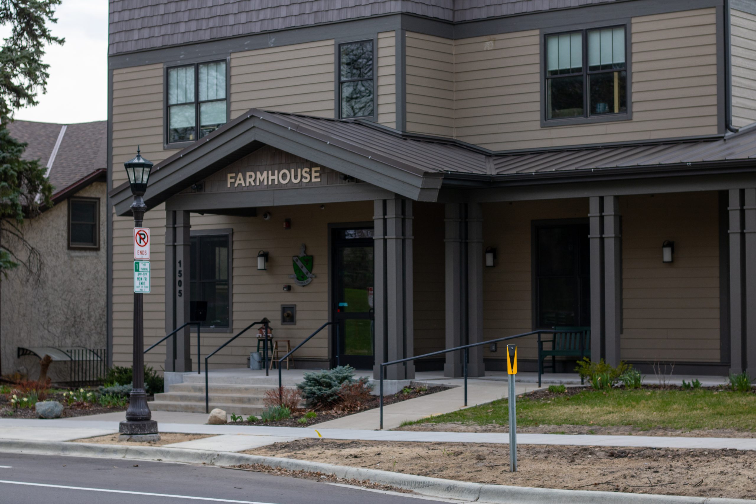
At least 100 years old, it’s emblematic of the neighborhood itself – a place where the University’s new business school faces a cooperative vegetarian café, where the old coexists beside the new, and the past molds the present.
The Cedar-Riverside neighborhood, often called the West Bank, stretches 340 acres between Interstate 35W, Interstate 94 and the western bank of the Mississippi River. The neighborhood has a diverse population of more than 7,000 people, according to the most recent census data.
The neighborhood’s demographics cut across ethnic and cultural barriers, including recent Somali immigrants, East Asian immigrants who came in the ’80s, as well as the artists and activists who dominated the neighborhood during the ’70s.
The West Bank is also home to three institutions that have helped shape the neighborhood during its long history: the University, Augsburg College and Fairview hospital.
Birth of a neighborhood
Until the mid-1800s, the only people in the Minneapolis area were the Dakota Mdewakanton. In 1837, an agreement with territorial leaders allowed white people to settle in the region.
By the 1870s, around 500 people lived in the area that is now Cedar-Riverside, mostly poor Swedes and Irish who worked in the flour mills near St. Anthony Falls or in the lumber industry, according to a 2006 study sponsored by the Kalmar Läns Museum in Sweden.
A population of people from what is now the Czech Republic squatted in the area below the bluffs right up against the Mississippi River, in what was then called Bohemian Flats, according to Minnesota Historical Society documents.
In addition to housing, the main buildings in the area consisted of two breweries and a warehouse.
Augsburg College, founded as a Norwegian Lutheran seminary in 1869, was moved in 1871 from Wisconsin to the neighborhood surrounding Murphy Park – the first park in Minneapolis – Garry Hesser, professor of sociology at Augsburg, said.
Paul Gyllstrom, an author who grew up in the area around Cedar Avenue in the 1880s, wrote in his book, “Notes on Early Minneapolis,” that “South Minneapolis in those days resembled a country town. Washington Avenue stretched all the way down to the river, an unpaved street. There was no bridge. The sidewalks were wooden ones, and there were pleasant lawns, picket fences, and, in the springtime, lilacs and apple-blossoms.”
In 1888, the area was connected to the East Bank of the University by streetcar. By 1891, the transportation system was upgraded to electric streetcars, allowing easier access for workers and students, according to a 1979 historical survey.
The period between 1890 and 1910 was a boom time for West Bank immigration from Scandinavian countries. By 1890, more than two-thirds of the 8,000 people living on the West Bank were foreign-born, according to Minneapolis city planning documents. As the population peaked at 16,000, the West Bank solidified its role as an incubator for subsequent waves of immigration. Of the immigrants, more than 40 percent were Swedes, 20 percent Norwegians or Danes and 40 percent from 18 other European countries.
Dania Hall and Snoose Boulevard
In May 1886, a group of 10 citizens purchased a lot at the corner of Fifth Street and Cedar Avenue to build a Danish community center. At the groundbreaking parade, local politician Lars M. Rand delivered a speech asking for unity among immigrant groups, according to the Minneapolis Tribune.
For more than 100 years, as immigrants filled the neighborhood, Dania Hall represented the diversity of the community. Although the building was destroyed in a 2000 fire, a monument with contributions of language and art from neighborhood groups was erected, said Tim Mungavan, executive director of the West Bank Community Development Corporation.
In 1887, the city of Minneapolis marked Cedar Avenue as the boundary for a policy called the “patrol limits ordinance” that designated where liquor could be served. Since it butted up against the dry areas of the city, the West Bank became somewhat of a red-light district, renowned for its bars, dance halls and vaudeville performances. A popular phrase at the time, “Att ga pa Cedar,” meant “to get drunk.”
New immigrants also built halls for music and theater, each with its own ethnic and linguistic loyalties: the Pence Auditorium, the Southern Theater, Mozart Hall, Normana
Hall, and Hegna Hall. The neighborhood also boasted Catholic and Lutheran hospitals that would one day merge into Fairview.
In addition, a variety of Scandinavian shops and cafés operated successfully, selling items like pickled herring, stoves and snuff tobacco, or “snus,” which gave Cedar Avenue the nickname “Snoose Boulevard.”
Deterioration and revitalization
The national prohibition of liquor in 1919 signaled the end of the neighborhood’s dominance as an entertainment district by closing more than a third of Cedar Avenue storefronts, as well as local breweries like Heileman’s on Fifth Street.
As Scandinavian immigrants became more affluent, they usually moved to the Seward neighborhood, the lake areas of Minneapolis and eventually the suburbs, according to historical surveys.
By 1930, the end of prohibition, these influences had taken their toll on the once vibrant neighborhood by reducing the population to 3,000 people, according to Minneapolis city planning documents.
The Great Depression of the 1930s only worsened the neighborhood’s conditions. A 1934 Minneapolis survey found that housing in the Cedar-Riverside neighborhood was in poor condition, as much of it was built before 1906.
The West Bank largely missed out on the economic boom that followed World War II. A 1950 study by the Minneapolis City Planning Commission suggested the area was in general disrepair: “Blighted areas requiring general cleaning and reconstruction or substantial reconditioning.”
In 1959, the city seized 209 acres of residential areas east of Cedar Avenue through eminent domain for use by the University, Augsburg College, Fairview and St. Mary’s Hospital, according to city documents. Hesser said this likely displaced many people, churches and other neighborhood institutions, but as a member of low-income neighborhood, the West Bank’s residents had few options to address their grievances.
In the 1960s, the construction of I-94 and I-35W cut large swaths through the West Bank, geographically turning it into an island, Hesser said.
A 1965 assessment of West Bank housing found 94 percent of houses were built before 1902. The assessment warned that “without the development of a comprehensive plan, Cedar-Riverside will be a campus surrounded by a slum, which is not suitable for educating the young or healing the sick.”
The deteriorating condition of the housing stock made a revitalization project desirable for the city, said Jack Cann, an organizer for the tenants’ union at the time.
After the struggle against revitalization, the West Bank Community Development Corporation, which formed to provide the community a voice in development issues, helped rehabilitate almost half of the non-Riverside Plaza housing into rent-controlled cooperative housing, Mungavan said.
“We are a part of the ownership of 145 units or so,” he said. “There was something like $150 million of development that happened in the area between 1981 and 1995.”
Cedar Square West
As early as 1962, Cedar-Riverside Associates, a development group headed by developer and University business professor Keith Heller, started buying land in the neighborhood.
In 1970, the city awarded the company acquisition rights, and by 1971, the Department of Housing and Urban Development guaranteed $25 million in assistance for a housing development called Cedar Square West .
The revitalization project was called a “new-town-in-town,” because it would completely re-create the neighborhood.
The 10-phase plan set Riverside Plaza on Riverside Avenue as phase one, said Tim Mungavan, the executive director of the West Bank Community Development Corporation, which called for all neighborhood buildings – except Dania Hall – to be demolished.
Construction was planned to start in 1971 and finish in 1991. Cedar-Riverside Associates projected it would house 30,000 people by the time it was completed.
Jack Cann, a tenants’ union organizer at the time, said Cedar Square West received numerous architectural awards and support from all levels of government as well as large institutions in the area.
When residents learned of the plan there was massive dissent, Cann said, because many thought the sense of community was being disrupted.
A housing strike against the company spread through the neighborhood, Mungavan said.
Two years after Riverside Plaza was completed, the company defaulted on the original loan from HUD, dooming the project after its first phase, Cann said.
“The defeat of CRA was a big thing; people were sort of afraid of the whole community movement for a long time as a result,” Mungavan said. “There was a rethinking of how to relate to communities.”


