A long-term plan to reshape the Mississippi riverfront in Minneapolis is moving forward.
The Minneapolis Riverfront Development Initiative would add an extensive trail system, new parks and greater public access to a 5.5-mile stretch along the Mississippi River âÄî with an estimated $175 million pricetag.
Within five years of breaking ground, six miles of winding riverfront trails would be built to make each side of the river more accessible. These trails would form loops, starting just a few miles north of the University of Minnesota campus at the Plymouth Avenue Bridge, going north to the Camden Bridge.
A series of bridges would connect the trails on each side of the river.
The Minneapolis Park and Recreation Board is driving the proposal, along with a design team that spent the last year refining their plans.
The park board OKâÄôd the design Wednesday and will revisit the plans in November or December after a 45-day public comment period.
Bruce Chamberlain, assistant superintendent for planning services at the park board, said construction could begin in late 2012 or early 2013 if the park board puts the plan on its budget in late November.
Although parts of the project could be completed in the next five years, others wouldnâÄôt be done for 10-20 years.
Designers Tom Leader Studio and Kennedy and Violich Architecture laid out their goal in the plans: âÄúto change the river from a barrier to a connector.âÄù Some of their initial projects include:
- Scherer Park in Northeast Minneapolis would be one of the first to get a facelift. The park board bought the land last year and received a $1 million grant from Hennepin County to clean it up. The renovated park would restore a nearby island and include a new beach, swimming barge and kayak cove. The architects designed the park to be a main point for biking, running and kayaking in the city.
- The plans also include floating islands made of recycled materials along the river called Biohavens, which would be covered in soil and native plants to create habitats for wildlife like migrating birds and endangered species.
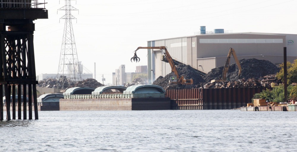
- A 25-acre wetlands park would replace the southern half of the existing 48-acre harbor terminal.
- In an attempt to create greater access to the river from downtown, the plan would create a park to bridge the area between Minneapolis Central Library on Nicollet Mall to the Hennepin Avenue Bridge.
- Later phases of the plan will build on the initial projects and new sites to achieve the overall goal of bringing more people to the riverfront.
At the unveiling of the plan early last week, audience members âÄî mainly older, local citizens âÄî were generally enthusiastic and had only a few mild concerns. In a crowd with few students, some worried that many of them might not get to experience the riverfront renovations when they are finally completed.
âÄúItâÄôs good. It will take a long time, but the plan is beautiful,âÄù said Yvonne Rietz, a Minneapolis resident. But the 59-year-old said, âÄúI would like to see something finished while I can still use it.âÄù
One of the lead architects on the project, Tom Leader, said it will need to begin quickly in order to keep people interested.
âÄúThe plan is really meant for our generation,âÄù said Roy Cloutier, a University architecture and planning major who has studied the plan thoroughly and spent the summer comparing similar projects in Seattle, Vancouver and Portland.
âÄúWeâÄôll be the ones in five to 10 years looking for jobs and places to live. The trail system will make it very convenient to get to work throughout the city,âÄù Cloutier said.


