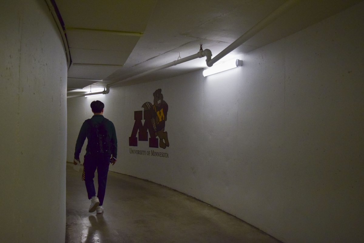
The University of Minnesota’s App Developer’s Club (ADC) is creating an app to help people navigate the Gopher Way’s tunnels, which are a popular method of navigating the East Bank, West Bank and St. Paul campuses.
By working on the app, ADC aims to allow students to learn about different ways of developing software, networking with other students and exploring projects.
According to Tobias Fimpel, a geographic information system developer at the University, the tunnels cover approximately 88 buildings across the Twin Cities campus.
John Mark Lucas, the transportation programs manager for the University’s Parking and Transportation Services (PTS), said the tunnels’ purpose is navigation assisting for weather and distance purposes.
“It’s helpful to stay out of the weather when it’s too cold or even when it’s too hot outside,” Lucas said.
Victor Hofstetter, an ADC member and a second-year international student from Brazil, said he came up with the idea for the app because he wanted to use the tunnels while avoiding the Minnesota winter weather.
“I was always using Google Maps to figure out where to go, but Google Maps doesn’t support the tunnels,” Hofstetter said. “So, I figured, ‘What if we made a Google Maps that does support the tunnels?’”
Hofstetter added there are a lot of unknowns regarding the tunnels in terms of navigation and where they are located.
“There’s a lot of people who don’t know about the tunnels, and the hope is that Gopher Tunnels will make that a little easier,” Hofstteter said.
Matt Moskalik, a third-year student, said the tunnels are easy to get lost in.
“I don’t think the resources the University provided are very helpful,” Moskalik said. “There are signs, but they’re still confusing.”
According to Lucas, there are different elements working together to help students find their way around the tunnels.
“There are different iterations of a walking guide where it gives you a printed map and an online map that you can search via the PTS website,” Lucas said.
According to a statement from Capital Project Management, the University Services Staff has spent this academic year focusing on improving navigation in the tunnel system.
“Since Fall 2023, the University Services staff have conducted an inventory of the current Gopher Way system, revised online maps to support navigation and defined a potential for change among multiple different locations within the system,” the statement said.
The statement added the goal of this work is to make system wayfinding more effective using interior features, such as paint, sign markers and digital and physical maps.
Gideon Tan, ADC president, said the app will have a similar format to Google Maps, where you can search for a destination and the app will tell you the best path while considering the amount of time spent outside.
“People know about the tunnels, but they are put off by how complicated and confusing they can be,” Tan said.
According to Tan, ADC is focusing on how the app can help people spend as little time outside as possible to get to their destination.
“The primary use would be the winters when it is absurdly cold, and you just want to stay inside,” Tan said.
Users will be able to customize their routes depending on the speed and time spent in the tunnels, according to Hofstetter.
“You can also save your routes,” Hofstetter said. “If there is a really popular route you like taking, you can save it and then you can ask the app to always have that route up every time you open it.”
Hofstetter said the app will provide pictures of the tunnel entrances to help locate them.
Tan said the whole club is working on the app together by splitting different tasks.
“We want to build something that people who have never programmed in their life can come in, get some exposure and learn stuff without being way too overwhelmed,” Tan said.
According to Tan, ADC plans to have a final product toward the end of the semester or the end of May.
“This is primarily to help learn, teach and help people get involved in a project that they’re passionate about,” Tan said.











Steven J Taylor
Apr 18, 2024 at 4:34 pm
Once again, the “U” is a trendsetter for what is state-of-the-art!
Bob Mecum
Apr 18, 2024 at 10:56 am
So I have spent time in the Gopher tunnels on the East and West Bank these past 3 years. I would remind the app developers that the concrete portions of the tunnels do not have wireless access for GPS navigation. The university could put in Wi-Fi or Broadband repeaters but that would entail significant expense. What I would suggest to the Developers, is to continue focusing on Google Maps capabilities the way they provide step by step directions. What could also be extremely helpful is a three-dimensional PATH map. For instance the Tate Hall gopher tunnels are multi-floor and the tunnel signs do not really indicate that. A visual map, or 3D virtual map like street view, would allow the student to see when they need to change floors or take a staircase or an elevator. The other portions that are slightly confusing to the Gopher tunnels are getting across Northrop Mall subterrain. It’s usually unclear you have to go across the parking to get to the next exit/ entrance to continue on the tunnel.
Laura VonDeLInde
Apr 18, 2024 at 10:08 am
Great idea! Thank you!!
Mark Dougherty
Apr 18, 2024 at 9:22 am
Tunnels, schmunnels. In the ‘70’s I didn’t use no #&$*+ tunnels, I walked in the snow, uphill both ways to class.
Heidi Hatchell
Apr 18, 2024 at 8:46 am
The App Developer Club working on an App for Gopher Tunnels sounds terrific. I have a request, if there could be an easy way to report that automatic door openers, handicapped access paddles, are not working at a particular entrance point, that would aid campus accessibility in a very big way. Messages could be sent simultaneously to the DRC and to Building Services that the door will not open at X doorway, well, it would be a game changer for those of us who rely on openers to be accessible and functioning. Thank you.